ODOT Statewide Safety Studies
Client - ODOT
Location - OHIO
Services - Traffic / Safety
ODOT Statewide Safety Studies No. 2008-4 ODOT’s Highway Safety Programs focus on freeway and non-freeway, high-crash and congested locations. Each year, the department prioritizes these locations for improvements using available funding. DGL was one of four designated safety consultants. The field data collection for safety studies entails traffic counts for signal warranting, turning movement counts for signal timing analyses, signal equipment inventories, signal timing observations and comparing existing installations to current OMUTCD standards. DGL conducted Crash Analysis using ODOT’s CamTool, identified deficiencies, and designed countermeasures to reduce crashes for both intersection and corridor studies. DGL has conducted 14 safety studies under this contract to date in Districts 2, 3, 9 and 12. A sampling of these projects include:
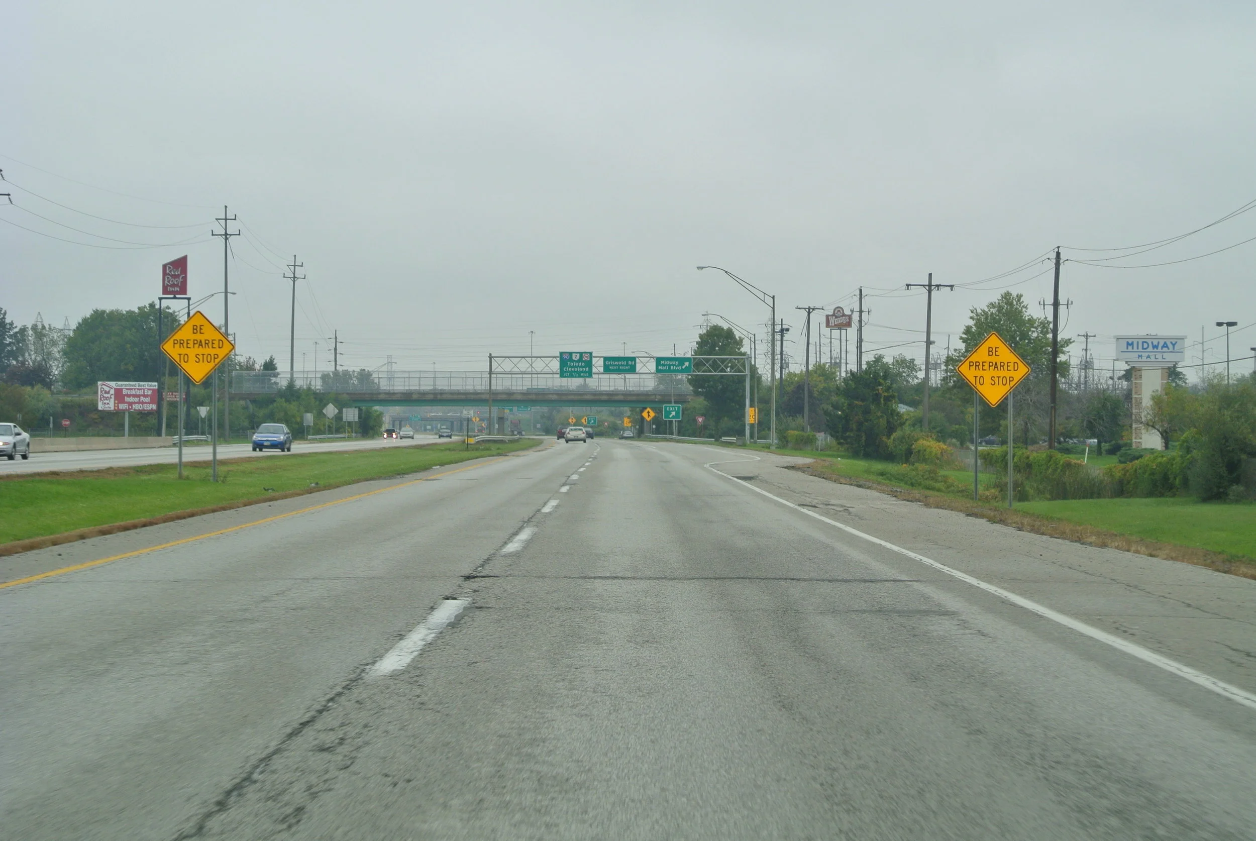
D3 LOR-57-19.42 The 1.83-mile project connects two heavily traveled interstates with a high crash propensity. The majority of the project is located between I-80 (Ohio Turnpike) and I-90. A 2006 Safety Study identified a long-term project to include realignment of ramps, changing access point control, pavement widening and the upgrade of signage and pavement marking.
D9 HIG-62-14.25 to 15.01 The US 62 project in Hillsboro ranked #90 on the 2007 Highway Safety Program listing for crashes and congestion. Project included field reconnaissance, traffic counting, and traffic signal warrants for seven intersections.
D12 GEA-44-6.61 to 7.25 SR 44 in rural Geauga County has a rolling, winding alignment near a state park. Three fatalities were recorded over an eleven-year period with additional accidents involving slide offs, roadside hazards and rear end crashes. Alignment studies were conducted, both vertical and horizontal, to determine short, medium and long-term recommendations.
D12 CUY-422-5.00 to 7.68 The over 2.5-mile corridor located in Cleveland and Shaker Heights was ranked #33 on the 2007 Highway Safety Program listing for crashes and congestion. The project activities included traffic counts, existing conditions inventories, and crash analysis for Kinsman Road (in Cleveland) and Chagrin Boulevard (in Shaker Heights).


