Land Survey Services
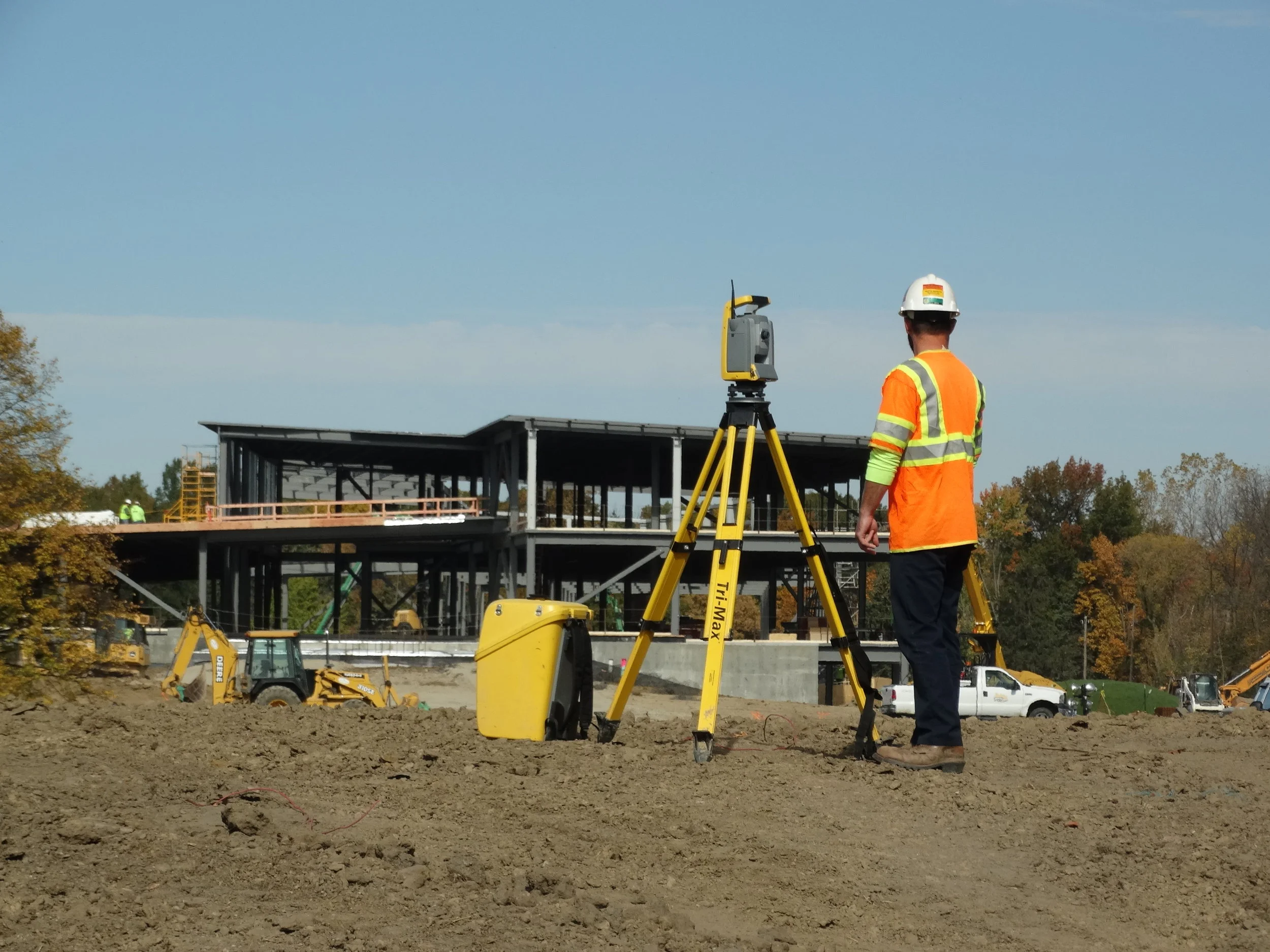
DGL recognizes our survey work is the foundation upon which a project will be constructed. We are experts in topographic and right of way surveys for plan development, sign location, and reflectivity mapping. We use the latest technology combined with time-tested methods and procedures to achieve the best results for our clients. DGL uses digital levels and Trimble GPS equipment to establish project control and Trimble S-6 Robotic Total Station equipment to collect data. This data is downloaded, and the drawing is created by a field-to-finish mapping process to provide our clients with the most timely and accurate information they need for a successful project.
Land survey services include:
Aerial Photography Control
ALTA Surveys
Property Surveys and Boundary Stakeout
Volume Quantity Surveys
Route Surveying
Topographic Survey and Mapping
Utility Location Surveys
As-built Documentation
Commercial and Residential Plats
Elevation / Floodplain Certificates
LOMA/LOMAR-F Certificates
Property Splits
Researching Abstracts
Right of Way and Easement Documentation
Unmanned Aircraft System (UAS)