top of page


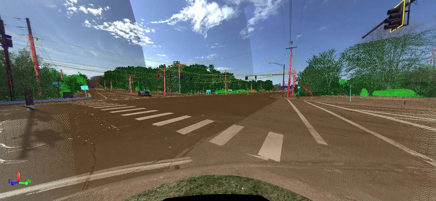


DGL provided Topographic/Existing Conditions base mapping along 5,500 linear feet from the Terex Road intersection to the Nicholson Drive intersection creating a 1’ contour surface model for design purposes. Three-Dimensional scanning technology utilized at the Terex Road intersection to avoid impacting traffic patterns and improvement safety conditions for field surveyors. City GIS information, combined with field investigation, and OUPS field markings utilized to map underground utility infrastructure. Public records research and field boundary survey were conducted to retrace the variable right of way limits of SR 303 (West Streetsboro Road) along the project extents.
Share This Project
Departments
Survey

Kent State Solar Array
Kent, Ohio

SEN-025 (PID 119654) – Fostoria, Seneca County, Ohio
Fostoria, Ohio

Sylvania Downtown Improvements
Sylvania, Ohio

W117th RTA Rail Bridge
Cleveland, Ohio
bottom of page