top of page
DGL 100 Year Logo White

Our Projects

Aerial view of connector trail at Swan Creek Park. There are trees in the background.
Swan Creek Connector Trail

Toledo, Ohio

Close up of pedestrian bridge with a wooden walkway running over a grassy area.
Wendy Park and Whiskey Island MUP Improvements

Cleveland, Ohio

Aerial photo of a Diverging Diamond Interchange, landscapings, pedestrian walkways, signals, bridge structure, and passing vehicle traffic.
I-475 & SR-25 Diverging Diamond Interchange

Perrysburg, Ohio

Fenced retaining wall running through metro park. There are trees on either side.
Sand Run Jogging Trail & Wall

Akron, Ohio
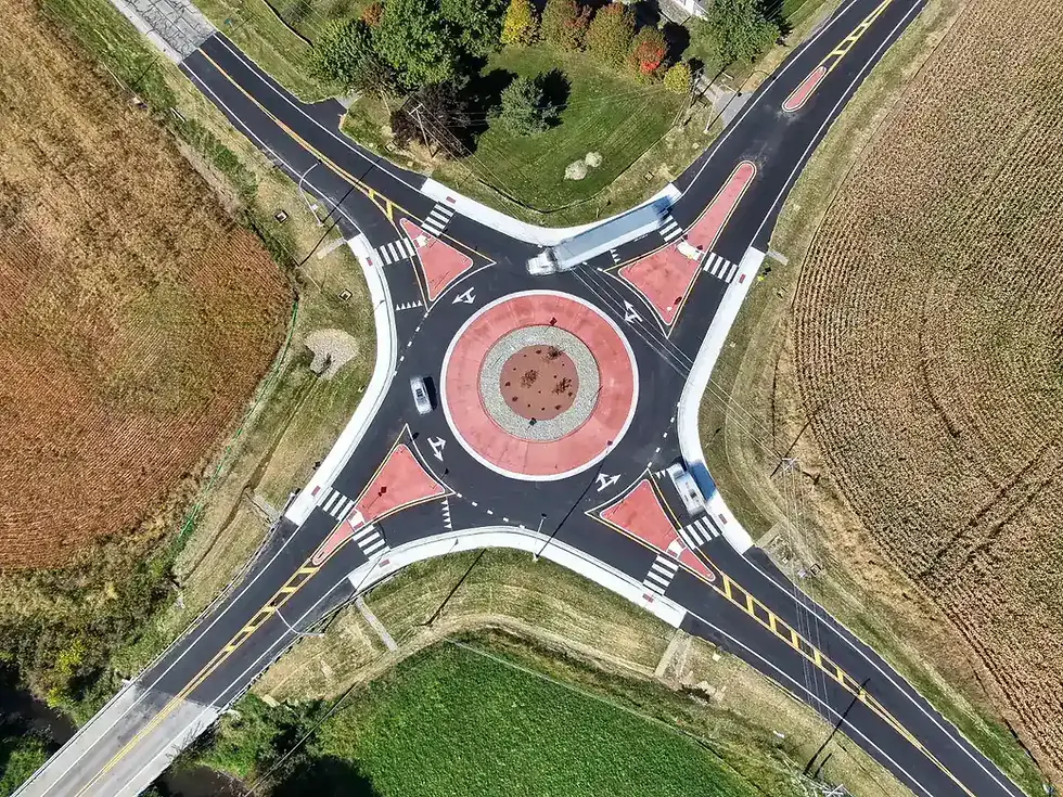
Aerial view of roundabout.
SR 295 Roundabout (LUC-295-6.65)

Lucas County, Ohio

Aerial photo of a PHB (Pedestrian Hybrid Beacon) signaled multi-use path crossing. Parks areas surrounding the road.
Harroun Road PHB

Sylvania, Ohio

The Andersons headquarters building. The building is multi-material.
The Andersons Headquarters

Maumee, Ohio

Wood and Terratread precast concrete boardwalk park feature over pond.
Manhattan Marsh Preserve Metropark

Toledo, Ohio

Aerial view of storage unit development that is next to an RV park.
Safe Harbor Storage Survey & Descriptions

Danbury Township, Ohio

Aerial photo of the 4-leg Louisiana & Indiana signaled intersection.
Traffic Analyses for Louisiana and Indiana

Perrysburg, Ohio

6 Rail terminals and adjacent tank farm. surrounded by embankments.
Harrison County Condensate Transfer Project

Cadiz, Ohio

Aerial image of land surrounding a college football stadium
BGSU Boundary and Topographic Survey

Bowling Green, Ohio

Searching For Specific 
Experience?

Surveyor in kayak inspecting the bridge in project scope above.
bottom of page