top of page
DGL 100 Year Logo White

Our Projects

Map of feasibility study.
Williams & Spangler Feasibility Study

Franklin County, Ohio

Aerial map with survey overlay for future solar array development
Kent State Solar Array

Kent, Ohio

Aerial photo of an industrial site and the surrounding area next to a river.
Cleveland Cliffs Survey

Toledo, Ohio

Point cloud rendering of signaled intersection
State Route 303 Pedestrian Connectivity Program

Hudson, Ohio

Aerial photo of a newly expanded industrial facility with new parking and truck dock access.
Cutting Edge Countertops

Perrysburg, Ohio

Aerial photo of retirement and healthcare facility depicting parking improvements and the building itself.
Countryside Manor Nursing Care Facility Improvements

Fremont, Ohio

Retaining wall at Tinkers Creek. The wall is made with stone. There are trees in the background.
Tinkers Creek Bedford Reservation Survey

Walton Hills, Ohio

Signaled 4 way intersection and approach for the school drive. Lush trees.
BBHCSD Elementary School (Brecksville Blossom Hill City School District)

Brecksville, Ohio

Pedestrian crosswalk at a 4 way intersection. There are colorful trees in the background. Traffic signal is to the right of the crosswalk.
North Royalton School Traffic Analysis

North Royalton, Ohio
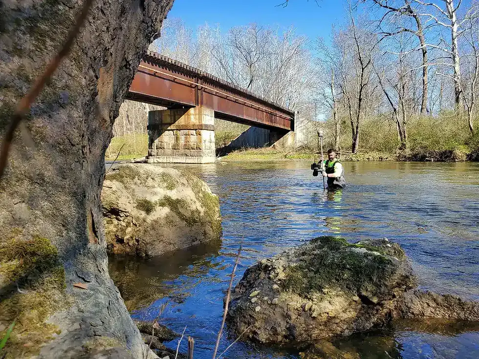
surveyor wading through a river with a GPS unit with rocks a bridge and trees surrounding
Cuyahoga River Restoration Survey

Summit County, Ohio

sUAS created survey point cloud depicting a railroad crossing
SEN-025 Photogrammetric Survey

Fostoria, Ohio

Aerial view of intermodal logistics brownfield project.
Ironville Intermodal Terminal

Lucas County
Searching For Specific 
Experience?

Surveyor in kayak inspecting the bridge in project scope above.
bottom of page