top of page
DGL 100 Year Logo White

Our Projects

Aerial Photo of an asphalt Multi-Use Trail (MUP) between a grassy field and a pond.
Blue Creek Trail MUP

Whitehouse, Ohio
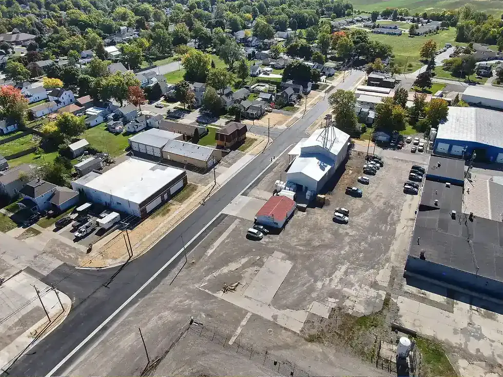
Aerial photo of a newly paved asphalt roadway, new concrete sidewalks, and surrounding buildings looking to the Northeast
Brunell Street Reconstruction

Wauseon, Ohio

Map screenshot of a multiuse path trail spanning from Cleveland to the South.
Cuyahoga River Towpath Wall Survey

Cleveland, Ohio

Road after fresh asphalt has been applied.
Parker Road Full Depth Reclamation

Metamora, Ohio

Aerial view of pedestrian trail including a boardwalk that runs through many colorful trees.
Oak Openings Corridor Trail (Phases 1 & 2)

Toledo, Ohio

Grob factory building. A land surveyor's robotic total station set up on a grassy hill.
Grob Systems Building Expansion

Bluffton, Ohio

Aerial photo of a roundabout interchange also known as a "bowtie interchange" or "dog bone interchange" and highway overpass with cars flowing through and trees in the surrounding area.
Dorr Street Interchange LUC-475-7.53

Toledo & Springfield Township, Ohio

Multi-Use Path running through park allowing for foot traffic, bicycle traffic, and vehicle traffic.
Silver Creek & Munroe Falls Metro Park Multi-Use Path

Doylestown, Ohio

Penguin holding building and exhibit area aquarium
Toledo Zoo - Penguin Beach

Toledo, Ohio

Construction being done at the Toledo Zoo Aquarium.
Toledo Zoo - Aquarium, EHDD Architecture

Toledo, Ohio

Pipeline engineering process. The grass is dug up and there is dirt and rocks from the ground. There is a pipe showing that will be installed.
Oregon Clean Energy Center 24-inch Pipeline Survey

Oregon, Ohio

3/4 view of a large concrete box culvert and stone drive over a small stream
Cannaley Property Bridge Replacement

Lucas County, Ohio

Searching For Specific 
Experience?

Surveyor in kayak inspecting the bridge in project scope above.
bottom of page