top of page
DGL 100 Year Logo White

Traffic/Safety Projects

View All
Aerial photo of a PHB (Pedestrian Hybrid Beacon) signaled multi-use path crossing. Parks areas surrounding the road.

Harroun Road PHB

Sylvania, Ohio

Aerial photo of the 4-leg Louisiana & Indiana signaled intersection.

Traffic Analyses for Louisiana and Indiana

Perrysburg, Ohio

Traffic signals.

ODOT Statewide Signal Timing

Various

Map of feasibility study.

Williams & Spangler Feasibility Study

Franklin County, Ohio

Signaled 4 way intersection and approach for the school drive. Lush trees.

BBHCSD Elementary School (Brecksville Blossom Hill City School District)

Brecksville, Ohio

Pedestrian crosswalk at a 4 way intersection. There are colorful trees in the background. Traffic signal is to the right of the crosswalk.

North Royalton School Traffic Analysis

North Royalton, Ohio
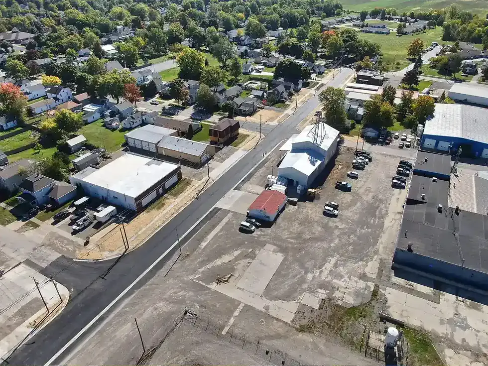
Aerial photo of a newly paved asphalt roadway, new concrete sidewalks, and surrounding buildings looking to the Northeast

Brunell Street Reconstruction

Wauseon, Ohio

Aerial view of pedestrian trail including a boardwalk that runs through many colorful trees.

Oak Openings Corridor Trail (Phases 1 & 2)

Toledo, Ohio

Multi-Use Path running through park allowing for foot traffic, bicycle traffic, and vehicle traffic.

Silver Creek & Munroe Falls Metro Park Multi-Use Path

Doylestown, Ohio

Intersection included in Traffic Study

Maple Avenue Safety Study (STW-Safety Study 2021-1)

Zanesville, Ohio

Pedestrian approach and related crossing signal to the Link Pedestrian bridge where traffic counts were taken by DGL.

Link Bridge Pedestrian Counts

Dublin, Ohio

Two lanes for entrance and exit in front of a church.

St John XXIII Catholic Church Traffic Impact Study

Perrysburg, Ohio

bottom of page