top of page
DGL 100 Year Logo White

Survey Projects

View All
Aerial view of storage unit development that is next to an RV park.

Safe Harbor Storage Survey & Descriptions

Danbury Township, Ohio

Aerial image of land surrounding a college football stadium

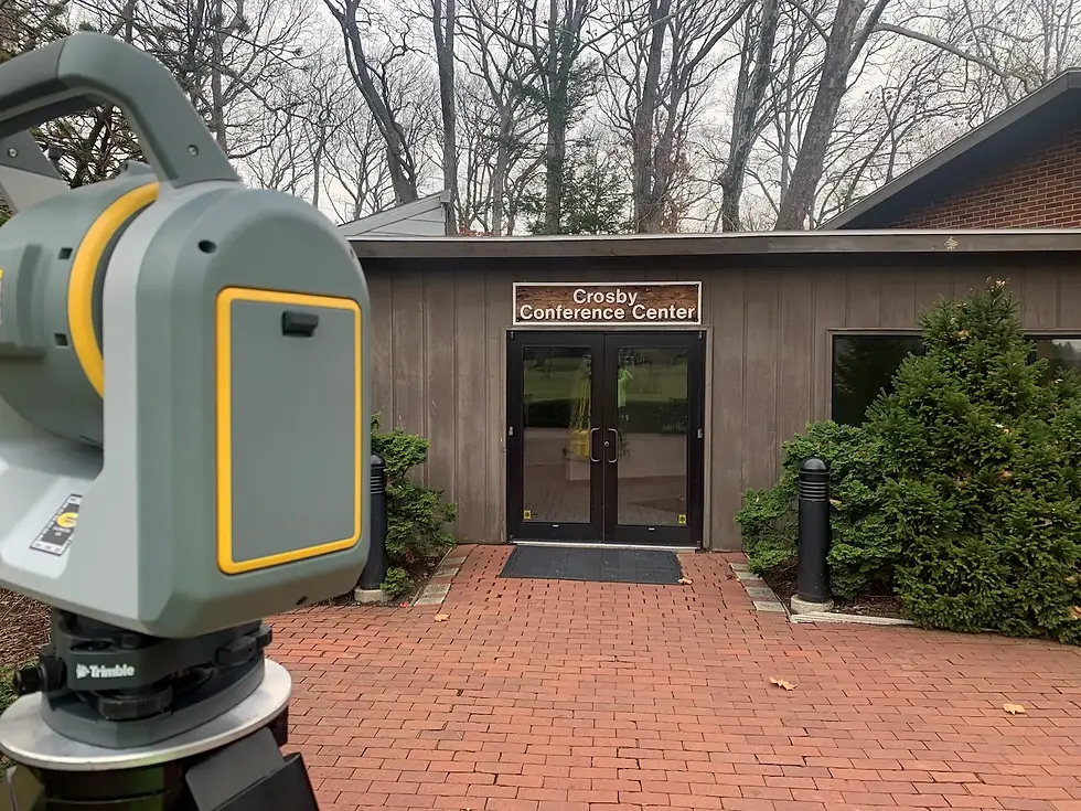
BGSU Boundary and Topographic Survey

Bowling Green, Ohio

Digital scan of containment facility.

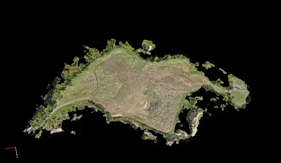
Zenith Volumetric Surveys

Cleveland, Ohio

Screenshot of point cloud data depicting an empty 4 way signaled intersection and surrounding buildings

Hudson Rd Resurfacing Survey

Cuyahoga Falls, Ohio

Active fenced off pipeline construction site featuring heavy machinery and a long stretch of pipe laying beside a trench.

Clean Energy Center Pipeline

Various

sUAS-based photogrammetry of Two Glaciers Park.

Two Glaciers Park As-Built Survey

Fairfield County, Ohio

Land surveyor's trimble scanner and a park building facade and handscaped entrance.

Toledo Botanical Gardens Survey

Toledo, Ohio

Aerial photo of an industrial site and the surrounding area next to a river.

Cleveland Cliffs Survey

Toledo, Ohio

Point cloud rendering of signaled intersection

State Route 303 Pedestrian Connectivity Program

Hudson, Ohio

Retaining wall at Tinkers Creek. The wall is made with stone. There are trees in the background.

Tinkers Creek Bedford Reservation Survey

Walton Hills, Ohio

surveyor wading through a river with a GPS unit with rocks a bridge and trees surrounding

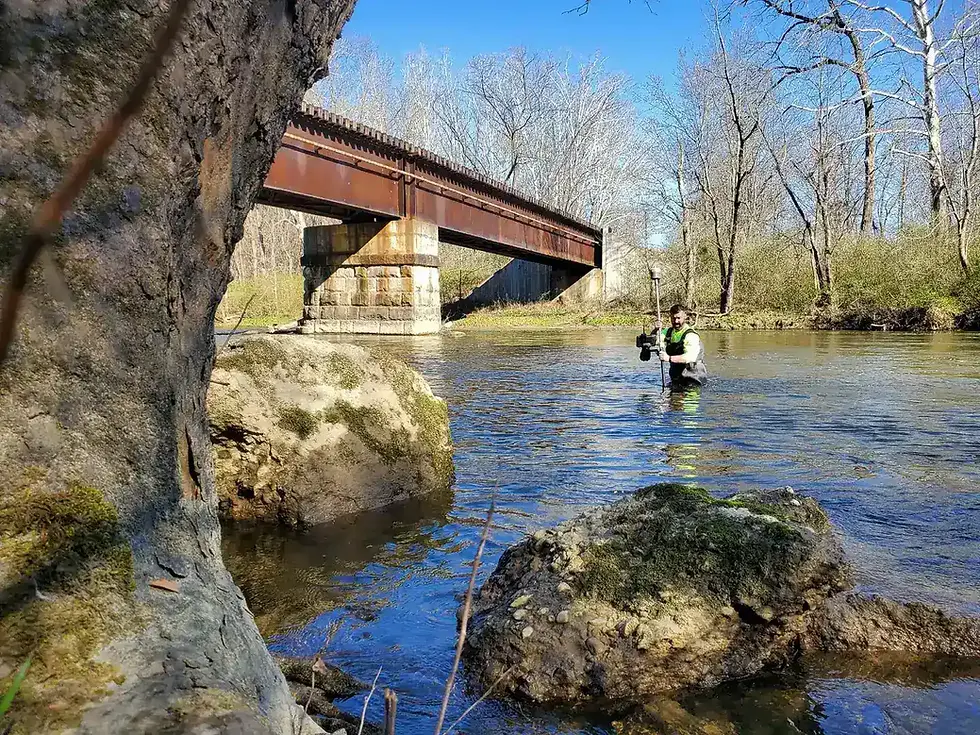
Cuyahoga River Restoration Survey

Summit County, Ohio

Map screenshot of a multiuse path trail spanning from Cleveland to the South.

Cuyahoga River Towpath Wall Survey

Cleveland, Ohio

Searching For Specific 
Experience?

Kayak EDIT_CROP.webp
bottom of page